Services
Survey & Soil Data Collection, Detailed Topographical Survey, Geotechnical Investigation of Bridges and High Embankments, Traffic Studies and Analysis Geometric Design including fixing of most suitable alignment, Traffic Studies and Analysis, Pavement Composition Assessment, Design of all types of CD structures, Geometric Design including fixing of most suitable alignment, Traffic Studies and Analysis Testing of Construction Materials including fixing of most appropriate quarries, Pavement Composition Assessment Design of all types of CD structures, Geotechnical Investigation of Bridges and High Embankments, Environment Impact Assessment, Social and Resettlement Studies, Detailed Estimation of Quantities and Costs, Perform Financial Analysis, Preparation of Technical Specifications, Assistance in Bidding Process.

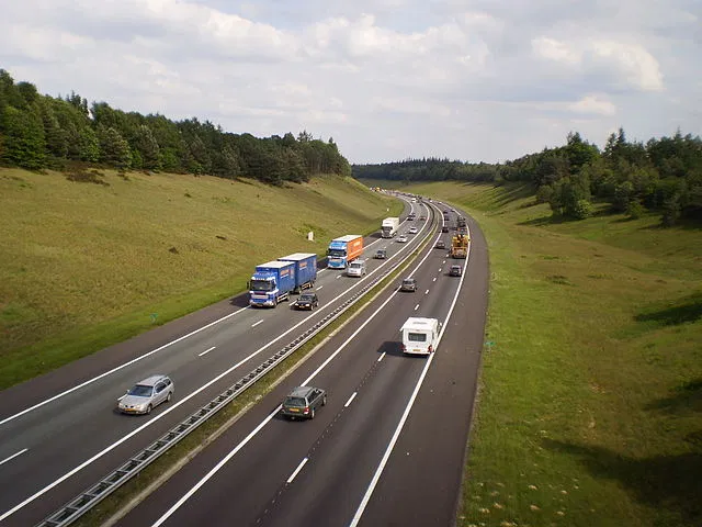
Detailed Topographical and Hydrological Survey
Detailed Hydraulic Analysis including Estimation of Flood Discharge, Fixing of Bridge Length and Ascertaining Span Arrangement
Detailed Geotechnical Investigations
Analysis of all load types including Dead, Superimposed Dead, Moving, Seismic, Wind, Water Current, etc.
Analysis and design of all types of superstructure including RCC Slab, RCC T-Beam, PSC, Composite etc. (specialization in composite integral bridges)
Analysis and Design of all types of substructure and foundation (open/pile/well) Testing of Construction Materials including fixing of quarries

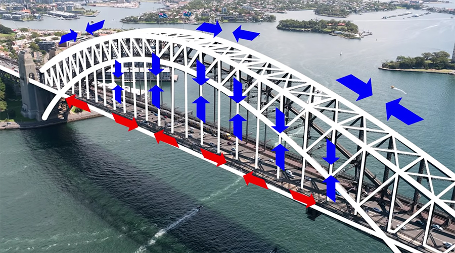


CONSTRUCTION
Engineering services relating to building design, construction and maintenance have formed a core activity in our operations since the company was founded in 2020.

INTERIORS
Interior design is the concept through which you can decorate your home, hide its flaws and make it functional. It makes your home interiors pleasing to the eye. The right colors, patterns, furniture and home furnishings makes for an ideal home interior design.
Topographical Survey and Layout.
Topographical Survey including land and road survey and Layout works at any construction site is undertaken by our qualified and experience surveyors with total station and auto levels and thereby preparation of plans on CAD. The instruments are of high accuracy and thus the level of accuracy in works is also high. Detailed project report for existing or new road is also prepared including cross-sections at required interval.
Engineering Survey and Drawing
Topographical Survey with DGPS, GPS & modern Total Stations Levelling by Digital Level & Auto Level instruments. Cadastral and Engineering Survey. Hydrographic Survey through Total Station, Current meter, Echo-sounder etc. Profiling, Contouring, Levelling, Curve setting, etc. Route alignment for roads, bridges, pipelines, power lines etc. As built survey for developed city regions. Quantity survey after construction.
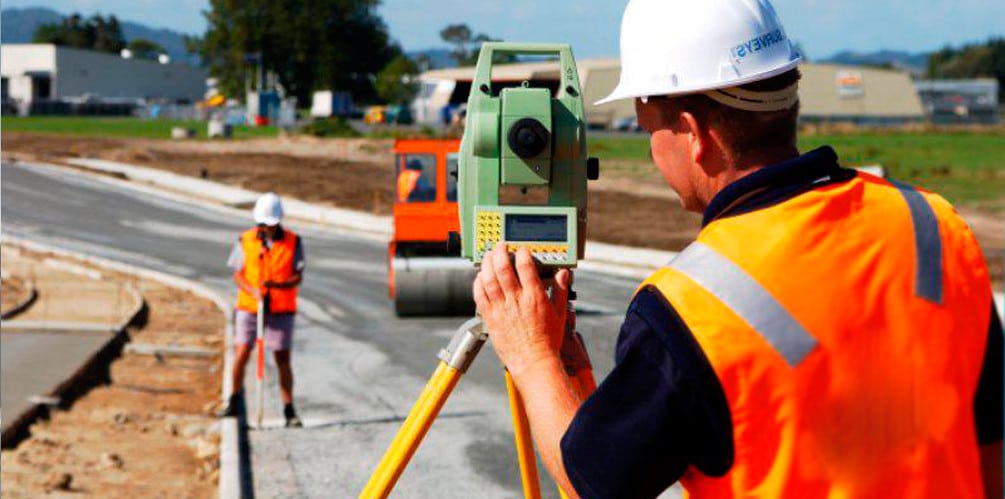
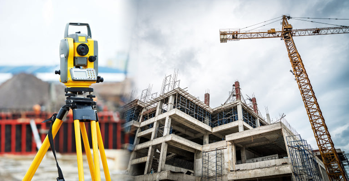
- Topographical Survey
- DGPS Survey
- Drone Survey
- LiDAR Survey
- Building Layout/As Build Survey
- Networking Survey
- GPR Survey
- Hydrological Survey
- Gas Pipeline Scanning and Routing
- Canal Survey
- Transmission Line Survey
- Road Safety Survey
- Traffic Survey
