SURVEY
KAMNAS PVT. LTD is a company specializing in autonomous data acquisition, near real-time data feeds, and accurate survey and photogrammetric mapping information services from “Drones”. This provides alternative solutions to costly data acquired from aircraft or similar airborne and/or vehicular platforms over areas that are not economically justified to be captured by such large aircraft or may be difficult and/or dangerous for “manned” aircraft or vehicles or ground survey teams. With our UAV’s, we can confidently claim that we are producing truly accurate mapping data – the most accurate mapping data from a commercial UAV system in the world! 25mm accuracy-reliably, repeatedly, accurately.
Topographical Survey and Layout.
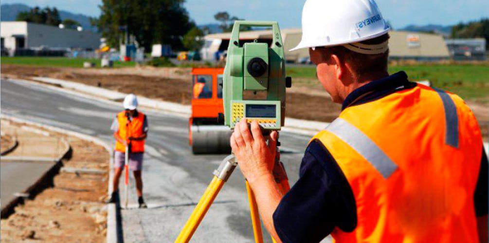
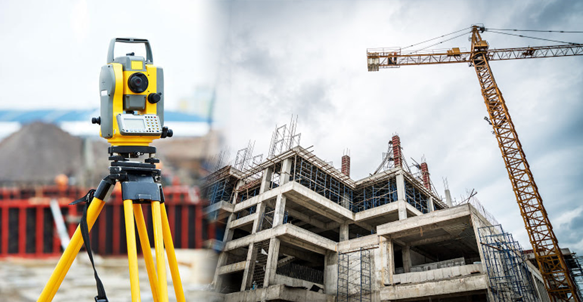
Topographical Survey including land and road survey, Traffic Survey, and Layout work at any construction site is undertaken by our qualified and experienced surveyors with total station and auto levels and thereby preparation of plans on CAD. The instruments are of high accuracy and thus the level of accuracy in works is also high. Detailed project report for existing or new roads is also prepared including cross-sections at the required interval.
Engineering Survey and Drawing
Topographical Survey with DGPS, GPS & modern Total Stations Levelling by Digital Level & Auto Level instruments. Cadastral and Engineering Survey. Hydrographic Survey through Total Station, Current meter, Echo-sounder, etc. Profiling, Contouring, Levelling, Curve setting, etc. Route alignment for roads, bridges, pipelines, power lines, etc. As-built survey for developed city regions. Quantity survey after construction.
- Topographical Survey
- DGPS Survey
- Drone Survey
- LiDAR Survey
- Building Layout/As Build Survey
- Networking Survey
- GPR Survey
- Hydrological Survey
- Gas Pipeline Scanning and Routing
- Canal Survey
- Transmission Line Survey
- Road Safety Survey
- Traffic Survey
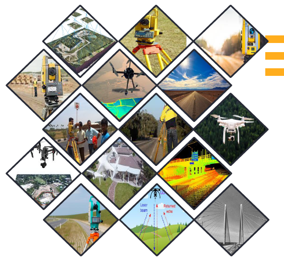
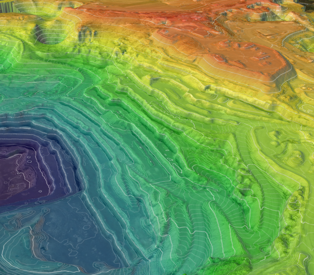
KAMNAS offers a professional, flexible, and precision-driven solution that simplifies surveying and mapping processes, and provides professionals with unlimited and ultimate aerial data while saving time and reducing costs and manpower. Our medium format metric cameras allow you to effortlessly execute mapping missions, capture high-resolution images and create 2D and 3D maps. It provides invaluable aerial data to industries like 3D Cities, land and resource management, agriculture, mining, forestry and environmental monitoring & research, and more.
As standard on all our drone systems, these provide 12MP still imagery and 4K video. They provide sharp images and smooth video perfect for a quick overview of a field, or for promo material. And RGB maps at super-high resolution.
Mounted on the drone to measure IR radiation, this camera can give accurate temperature readings from the air. Applications include immigration monitoring, animal counting, health checks, and solar panel inspections.
A true high resolution 4 band multispectral camera that captures each band of light individually. A sunlight sensor also records incoming light giving properly calibrated mages that are scientifically accurate. This allows for proper vanable rate exports and to make comparisons of data sets over time The 3P also incorporates a CPU that processes imagery on board at a low 20% overlap this means that larger areas can be covered faster and data can be processed almost immediately in the field, without the need for an internet connection.
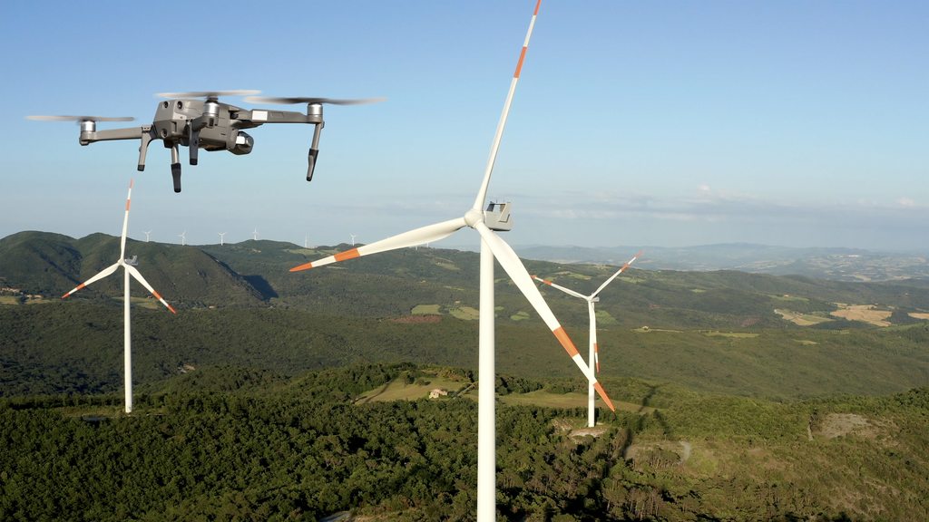
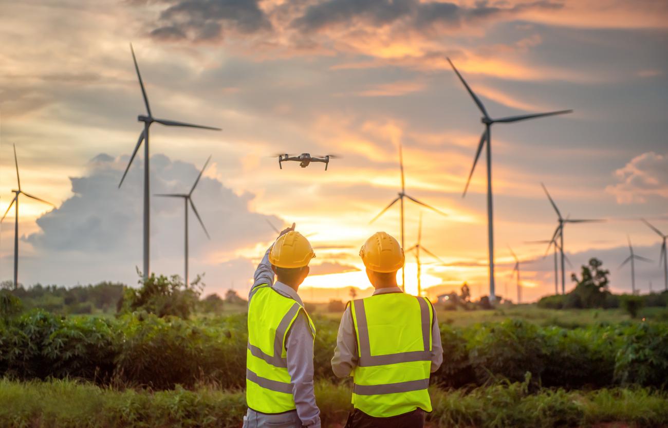
KAMNAS offers a professional, flexible, and precision-driven solution that simplifies surveying and mapping processes, and provides professionals with unlimited and ultimate aerial data while saving time and reducing costs and manpower. Our medium format metric cameras allow you to effortlessly execute mapping missions, capture high-resolution images and create 2D and 3D maps. It provides invaluable aerial data to industries like 3D Cities, land and resource management, agriculture, mining, forestry and environmental monitoring & research, and more.
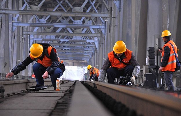
One of the major problems that railroads have faced since the earliest days is the prevention of failures in track. There are a significant number of potential problems possible and the task of inspecting the thousands of miles of track stretching across the land has to be performed with speed to avoid traffic interference. We offer a platform that enables predictive maintenance that not only reduces the costs and the risky operations of ground teams but also increases the speed and precision of data collection.
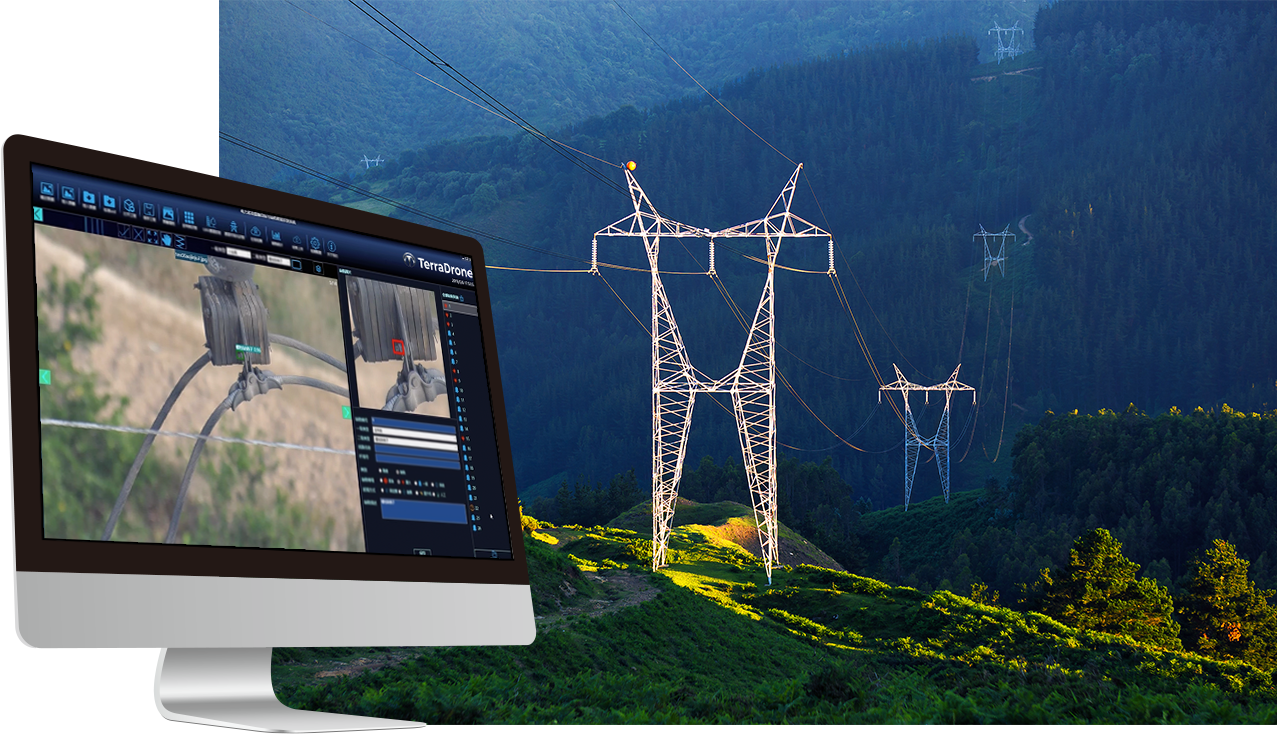
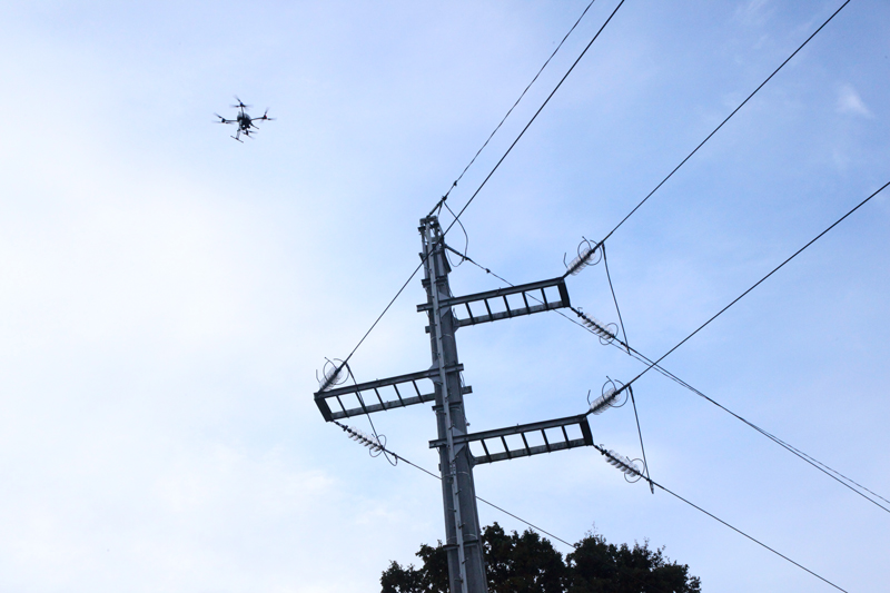
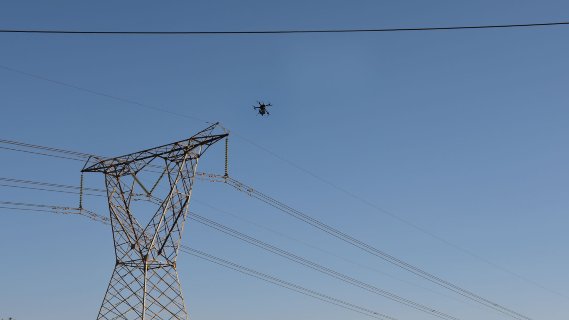
Power line inspection using drones is taking off as the ultimate solution, as it can cover immense portions of surface in each flight and provide accurate visualization of the power line components as well as surrounding objects. The drones solution enables a faster and more accurate collection of visual information, and allows power companies to focus on faultfinding, effective repairing and strategic constructions and maintenance planning, while minimizing the risks to surveying teams.
1. Power transmission tower and insulator inspections
2 Radio and communication tower inspections
1. Site-specific orthophoto mapping and 3D elevation models
2. Tailings pond monitoring.
3. Pipeline monitoring and leak detection.
4. Flare stacks inspection (in operation).
5. Spill tracking.
6. Stockpile and open-pit volumes.
7. Roads and runway inspection and monitoring. 8. Infrastructure surveillance.
9. Thermal imaging for heat leak detection. 10. Activities related to regulatory compliance and permitting 11. Accident and natural disaster assessment
12. Forest fire detection and surveillance 13. Search and Rescue (SAR)
14. Hydrological mapping
15. Pre-disturbance and reclamation planning 16. Environmental and reclamation site assessments and mapping of 17 Tree and shrub growth monitoring
18 Wildlife and biodiversity site-specific monitoring
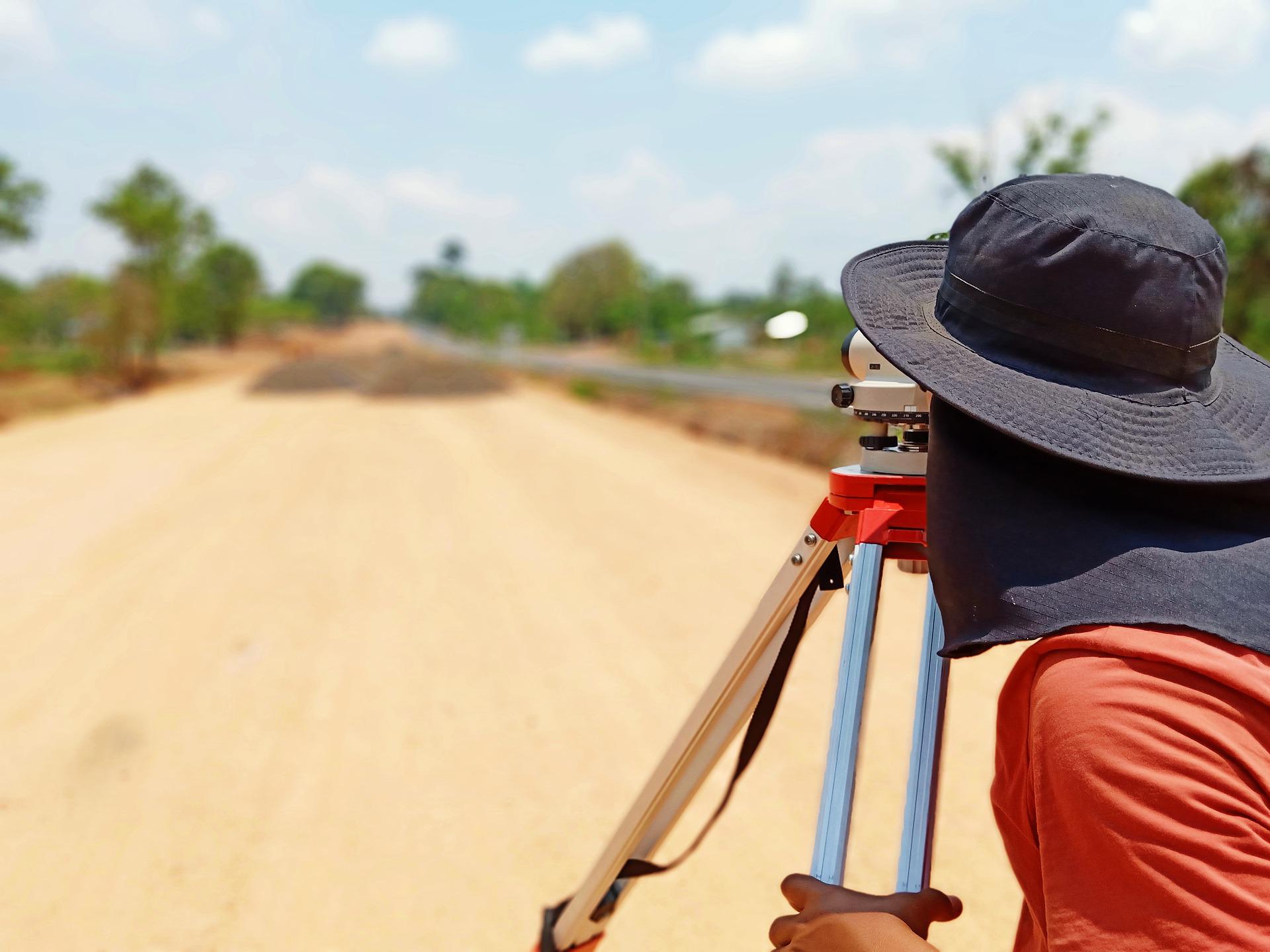
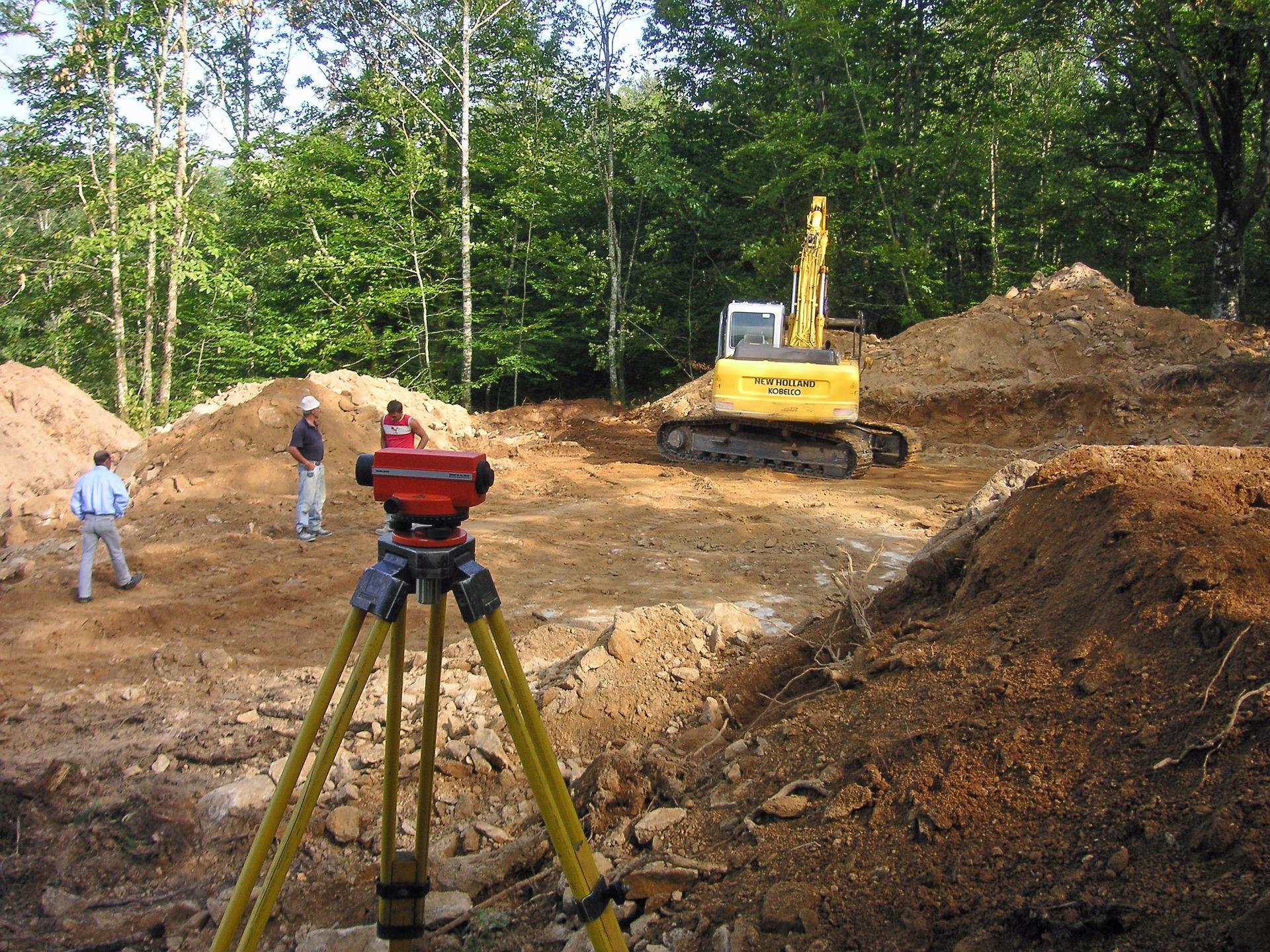
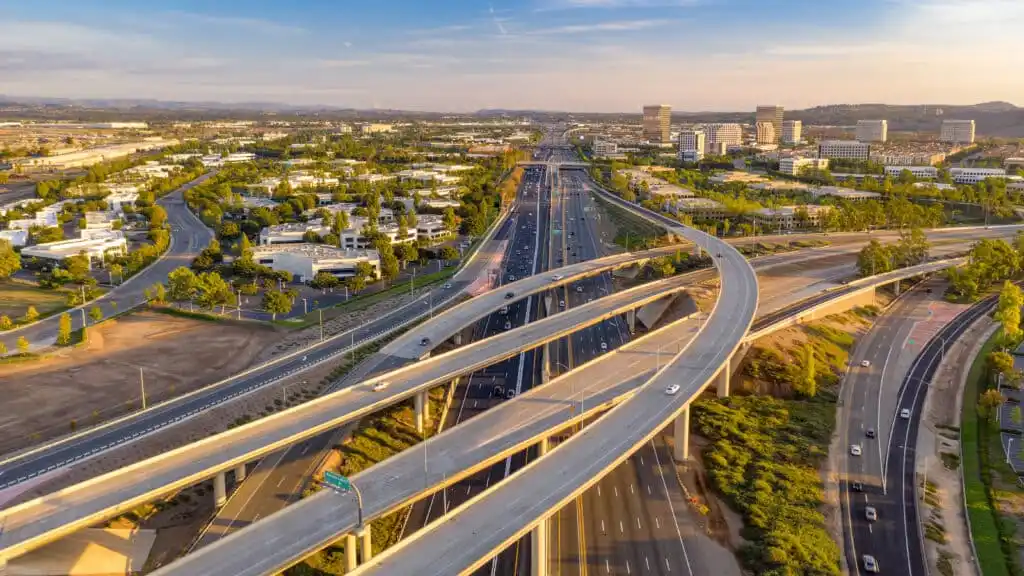
Geospatial products allow for more effective planning. construction, and maintenance of infrastructure projects, including roads and bridges. Effective inspection of aging infrastructure and fast identification of fundamental weaknesses (such as concrete delimitation) is crucial. since it affects directly the transportation networks and the safety of public users. The platform provides an advanced tool for road and bridges monitoring that helps executing such projects in shorter time, with minimal risk for people or disruption of traffic flow.
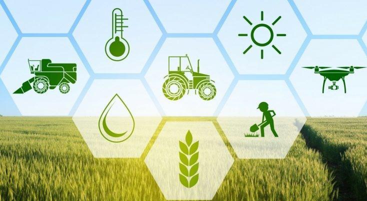
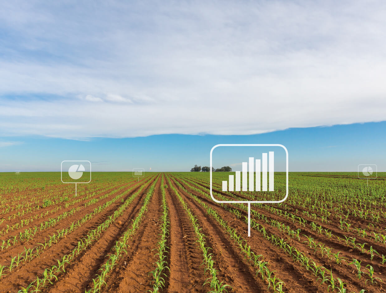
Agricultural production has drastically increased in recent years, and studies predict that aggregate agricultural consumption will increase by 69% from 2010 to 2050. This increase will be mostly stimulated by population growth from 7 billion to 9 billion by 2050.22 In order to keep up with increasing demand, agriculture will have to revolutionize the way it produces food and become much more productive. Furthermore, production should be kept sustainable and help to prevent environmental damage. Moreover, other obstacles such as climate change make it harder to grow crops, due to an increasing number of unexpected weather events all over the world. So to satisfy world demand for food, close collaboration between governments, technology, and industry has to be reinforced. PwC estimates the addressable market of drone-powered solutions in the agriculture industry at $32 4bn Crop supervision Until now, the main obstacle in farming has been the large area of farmed and low efficiency in crop monitoring. This problem is exacerbated by increasingly unpredictable weather conditions
Whether you call them Unmanned Aerial Vehicles (UAVs). Miniature Pilotless Aircraft or Flying Mini Robots, drones are rapidly growing in popularity. They are still in the infancy stage in terms of mass adoption and usage, but drones have already broken through rigid traditional barriers in industries which otherwise seemed impenetrable by similar technological innovations. Increasing work efficiency and productivity, decreasing workload and production costs, improving accuracy, refining service, and customer relations, and resolving security issues on a vast scale are a few of the top uses drones offer industries globally. The adoption of drone technology across industries leaped from the fad stage to the mega-trend stage fairly quickly as more and more businesses started to realize its potential, scope, and scale of global reach.
Whether drones are controlled by a remote or accessed via a smartphone app, they possess the capability of reaching the most remote areas with little to no manpower needed and require the least amount of effort, time, and energy. This is one of the biggest reasons why they are being adopted worldwide, especially by these four sectors: Military, Commercial, Personal, and Future Technology.
